Satellite Imagery of Atlanta Physical Urban Growth - Raster Data
Click the buttons below to see images of Atlanta urbanization in various years
Legend: white area is urbanized area. Black area is relatively nonurban.
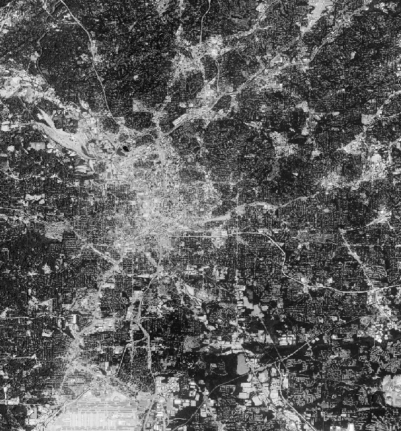
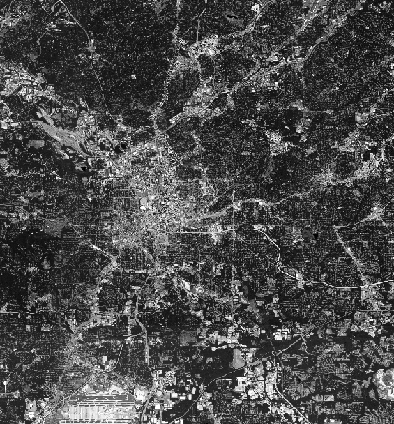
Projection: EPSG:3857 || Created: 11/10/22
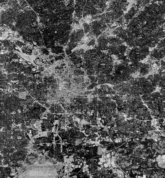
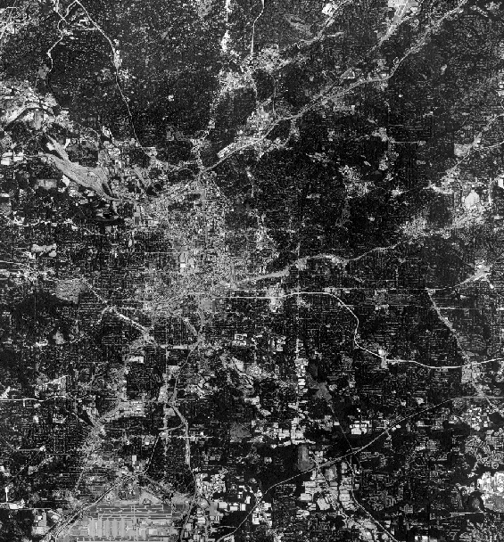
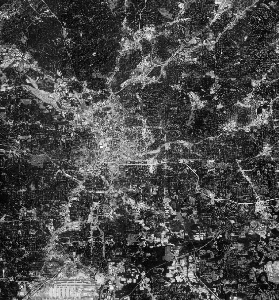
Click the buttons below to see images of Atlanta urbanization in various years
Legend: white area is urbanized area. Black area is relatively nonurban.